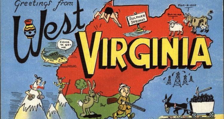
Because of factors like the secession from Virginia, the Mason-Dixon line and winding rivers, some consider West Virginia to be the oddest shaped state in the Union. Could this be another reason for others to discount West Virginia? Seems ridiculous, considering the fact that it’s uniqueness in shape reflects its unique people. Actually, the “shape we are in” only fuels our pride and distinctiveness as West Virginians.
Just as they make fun of our culture and our people, let’s consider the way the rest of the world butchers our cartography. Exhibit A – United States map puzzles.
Seriously, both panhandles bear the brunt of these massacres. (Notice the smug New England states’ flawless lines.)
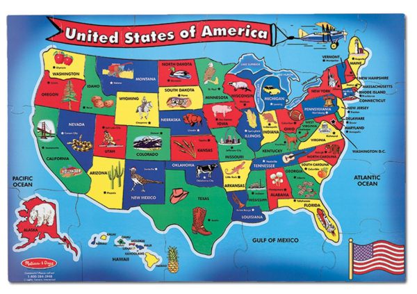
Looks like Ohio’s football knocked the Northern Panhandle clear into the Atlantic Ocean.

Here we can overlook the abbreviated “W” – but again the panhandles are nonexistant.
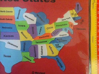
Here we are smooshed into lima bean.
Still use paper maps? Thanks to them, the Panhandles again suffer the consequences of ignorance.
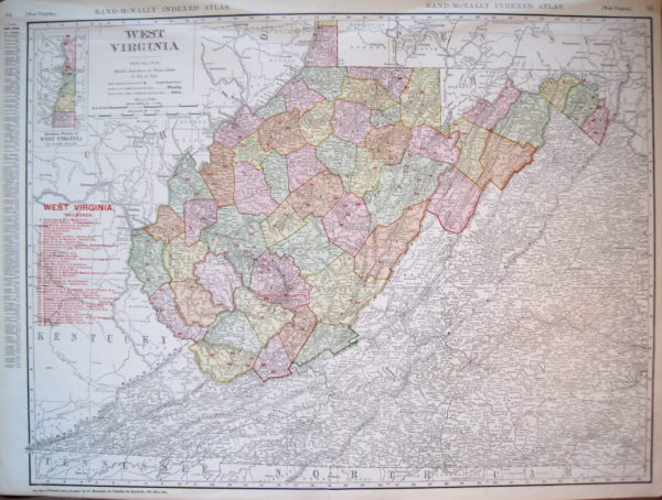
Wait, Wheeling is next to Columbus?
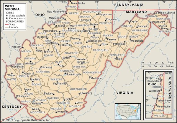
Now we are on top of Richmond!
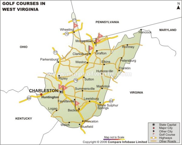
Oh no what happened to Martinsburg!
In the world of knick knacks, this magnet looks more like “Walk Like an Egyptian”.
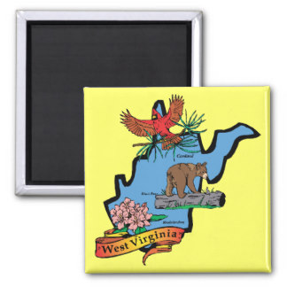
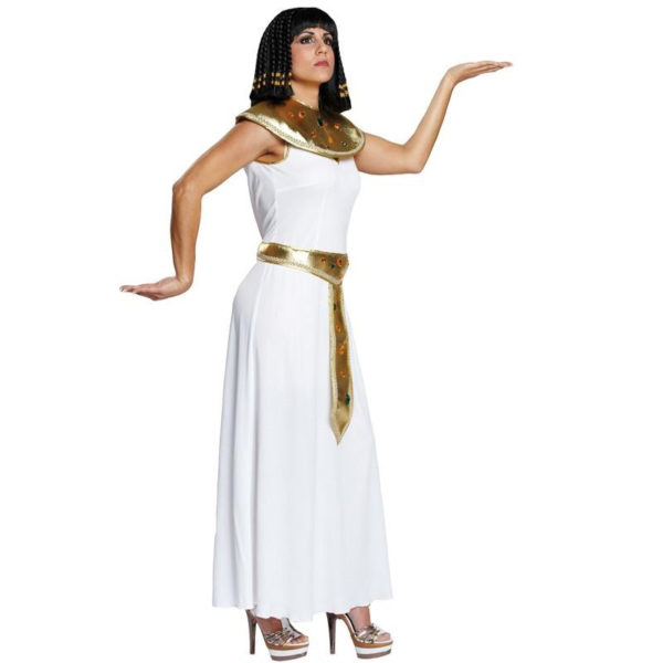
When the world comes down on us like this, like we always do, we shove the truth in their face. In this case, we incorporate the state’s acurate outline in every way possible.
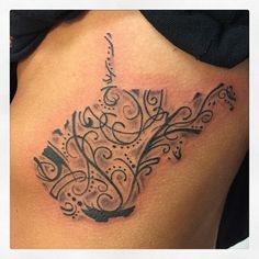
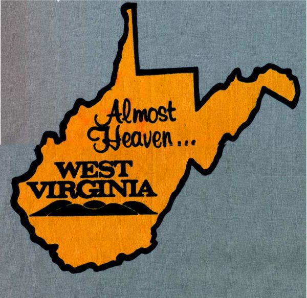
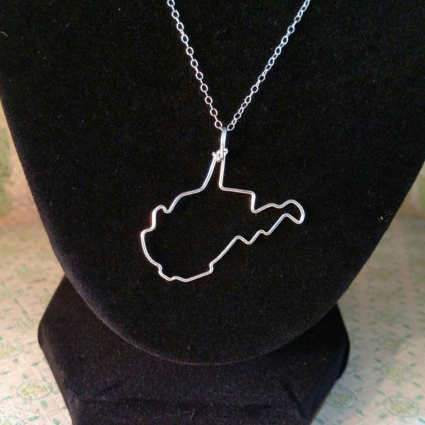
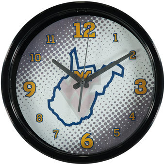
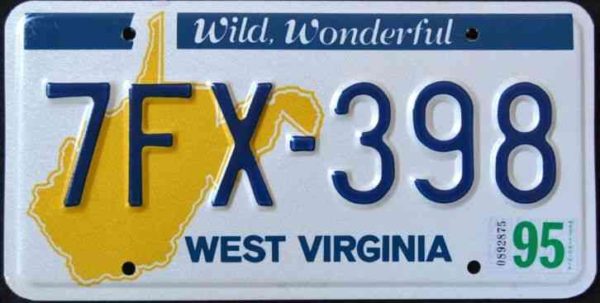
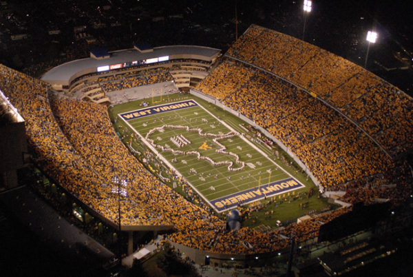
West Virginia is “Almost Heaven”. It might not be more true in the case of our shape. Considering that, from the heavens you can make out the one and only WV.
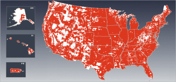
This is a wireless carrier coverage map of the U.S. … white space indicates no coverage. Notice anything? Photo – Wikipedia
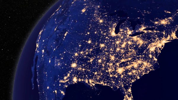
Satellite view of North America at night. West Virginia seems to be sleeping soundly with no light pollution. Photo – NASA
Some may say that West Virginians are out of shape. Maybe. But the shape we are in is unique. In more ways than represented on an election map or a leather chain wallet. Our uniqueness is our advantage and the fact that we embrace it time after time only makes us stronger.
Keep fighting the fight, Mountain State.


